

Transforming the City Of Vernon’s GIS with BIS Mapping Services

GIS For Government Entities

In This Article

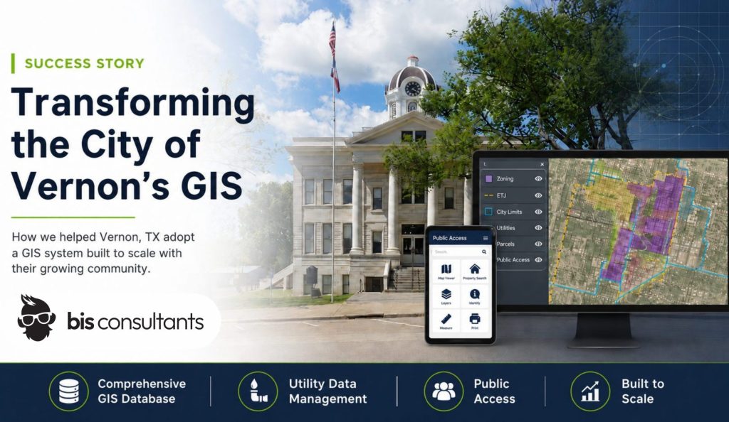
How we helped Vernon, TX adopt a GIS system built to scale with their growing community:

The City of Vernon partnered with BIS Consultants to modernize its geographic information system (GIS). Their goal was to improve how spatial data is managed, shared, and accessed. By developing a comprehensive GIS database, we integrated utility data, land records, and location data. The project created a strong foundation for the city. The expanded mapping resources resulted in a more efficient system. Now staff and residents can quickly access accurate information.

About the City Of Vernon

Vernon, Texas, is a North Texas community located in Wilbarger County with a population of just over 10,000 residents. Known for its strong agricultural roots and close-knit community, Vernon’s vibrant residents inspired our work. Understanding their needs helped us to implement GIS technology that supports their growing community. Vernon serves as a regional hub for commerce, healthcare, and education in the surrounding rural areas and needs room to grow.

Like many growing cities, they’re working to balance development, infrastructure, and transparency with limited internal resources. As Vernon continued to expand its services and planning efforts, city leaders recognized the importance of having reliable geographic data to support informed decision-making.

What Truth In Taxation Means for Taxpayers:

SB 2 means taxing units must inform taxpayers of proposed tax rate changes. Depending on the proposed increase of their local property taxes, they will have the opportunity to vote to approve or reject the proposed rate. The governing body must notify by posting a notice on their website, mailing it to taxpayers home address, or publishing it in a newspaper. They are also required to hold a public hearing where taxpayers can attend and vote on the property tax rate proposals.

City Strategy and Growing Pains

Before working with BIS, Vernon faced several challenges common to local governments. Critical geographic information was stored in multiple systems and formats. This makes it difficult for staff to access and maintain. Utility information required better organization and integration, too. Some GIS layers needed to be built or modernized to support city planning, emergency response, public services, and more.

City leadership wanted to strengthen its GIS infrastructure so departments could operate more efficiently. It was also important to them for residents to access reliable public information. To do this, they sought a partner with experience supporting local government GIS operations.

They Reached out to BIS with Three Main Objectives

  1. Develop a Comprehensive GIS Database
    The City of Vernon wanted to establish a centralized GIS database that included essential geographic layers. City Zoning, Extraterritorial Jurisdiction (ETJ), and City Limits to name a few. These datasets are foundational for planning, regulatory enforcement, and administrative operations.
  2. Optimize Utility Data Management
    Utility information, which was previously managed through Connect Explorer, needed to be migrated and normalized within the ESRI ArcGIS Online environment. The goal was to ensure the data was consistent, accessible, and integrated into internal web mapping tools used by staff.
  3. Enhance GIS Data Resources
    Vernon also wanted us to identify other GIS tools that would provide value for operations and planning. Expanding the city’s GIS resources would help them scale with growth better in the long-run.

BIS Designed A Custom Local Government GIS Solution

We got right to work developing a GIS implementation plan tailored to Vernon’s needs. The project began with careful planning to meet all of its goals. Working closely with city leadership, we designed a GIS environment that met all of their needs. The result? A user-friendly interface that municipal staff loves. It includes new data layers, updates to the existing datasets, and a user-friendly interface. The final system supports both current operations and long-term growth and urban planning.

By creating a GIS system that includes internal and public mapping tools, geographic information became easier to access and maintain. From public safety to land use and tax maps– this improves workflow for many Vernon residents and municipal employees.

Enhanced GIS Efficiency

BIS developed the core GIS datasets needed to support Vernon’s planning and operational processes. Zoning boundaries, ETJ limits, and city limits were digitized and structured within the GIS platform. This became a reliable spatial database. This sets them up for GIS Map support, integration of satellite imagery, and spatial analysis projects down the road.

Now, city staff have immediate access to geographic information that before required manual lookup. This streamlined workflows across departments and improved cross-department coordination. Making important zoning requests, infrastructure planning, and emergency prevention easier to navigate. And if challenges come up down the road, we’re on-call with our GIS Support Services.

Government GIS Services

Improved Utility Management

Utility infrastructure is a vital part of municipal operations. Vernon needed a more organized system for managing that information, so we got to work. We migrated utility data from Connect Explorer into ArcGIS Online. We then normalized the datasets to ensure compatibility with internal mapping applications.

This new structure helped employees manage utility data without hassle. When accessing utility data became simpler, efficiency improved. This also provided a better support experience for constituents. With intuitive internal web maps, city teams can now access utility information quickly. This supports planning projects, usage reporting, and other utility analysis needs well.

Empowered Staff

A successful GIS implementation goes beyond building data layers. BIS also focused on empowering Vernon’s staff to maintain and expand the system moving forward. We focused on creating a public works software that is intuitive to use. It also provides unique GIS tools that help municipal staff make informed decisions about their city’s growth.

Through hands-on training sessions, city personnel learned about the new system. We covered how to update GIS layers, manage datasets, and use mapping tools within ArcGIS Online. This training enabled the staff to adopt the new GIS software quickly. That confidence to dive right in supports the city as they continue to build on its GIS capabilities over time.

Improved Public Access & Transparency

In addition to improving internal workflows, BIS helped Vernon expand public access. We created accessible web access through a mapping interface for the public.

Residents can now view zoning boundaries, city limits, and conduct spatial analysis through an interactive map. This transparency helps citizens to better understand their community. It also reduces the number of customer service requests directed to city staff.

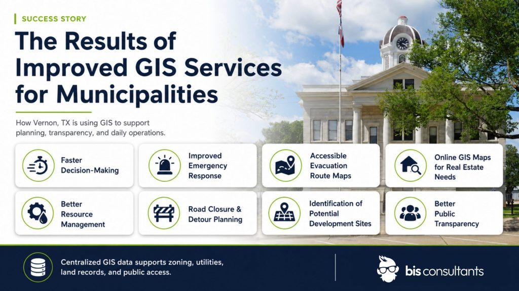
The Results of Improved GIS Services for Municipalities

The GIS modernization project delivered measurable improvements across multiple areas of city operations. City staff can now access the centralized GIS database. This enables faster decision-making and more effective planning. Updates like the ones we created for the City of Vernon can improve additional planning and preparation tasks, such as:

  • Improved emergency response with up-to-date data
  • Accessible evacuation route maps
  • GIS Map data available online for real estate needs
  • Improved resource management across departments
  • Improvement to road closure information and detours
  • Better understanding of environmental changes over time
  • Improved quality of life for constituents
  • Identification of potential development sites
  • Better understanding of population density
  • And more!

The integration of utility data improved infrastructure management. It also created a more reliable foundation for future projects and urban development. Staff training provided by BIS equipped Vernon’s team with the skills needed to maintain and update their GIS data independently.

Public access to GIS maps improved through the implementation of a web-based mapping interface. This transparency makes it easier for residents to engage with city planning and zoning information.

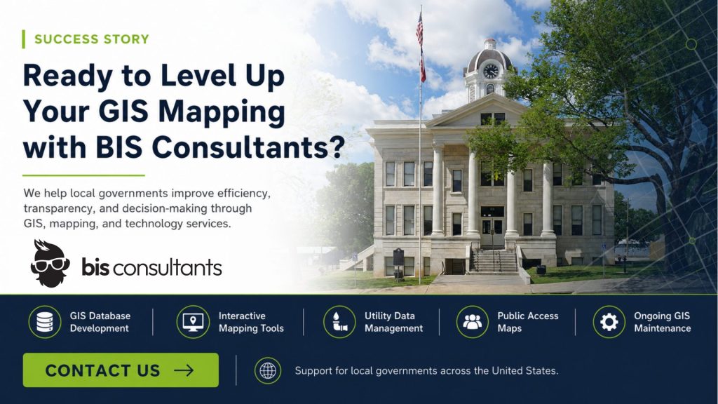
Ready to Level Up Your GIS Mapping with BIS Consultants?

BIS Consultants specializes in providing GIS, mapping and technology services for local governments across the United States. Our team understands the unique challenges municipalities face. We’re experts in managing geographic data and designing systems that support both staff and public access.

Whether your city needs GIS database development, interactive mapping tools, or ongoing GIS maintenance, BIS can help. Work with us to create solutions that improve efficiency, transparency, and decision-making.

Learn more about how BIS can support your GIS initiatives and connect with our team today.

Stop monkeying around with technology.

Talk with a BIS expert about a practical technology plan built for your government office.