Solutions in Interactive GIS Mapping That Take Users on a Journey

Custom GIS Interactive Map Solutions for Government
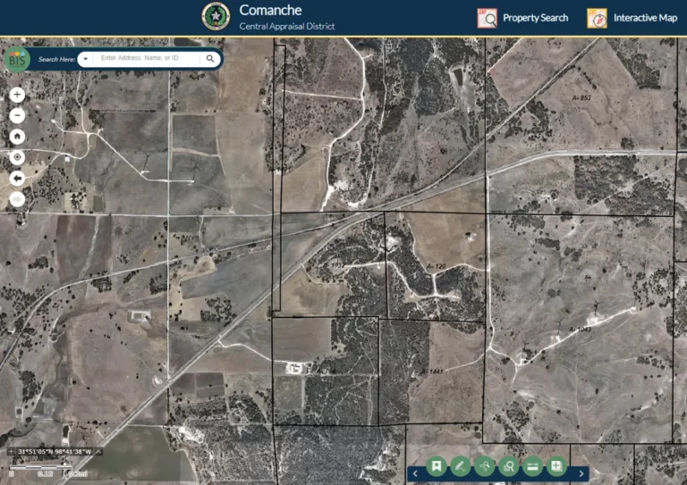
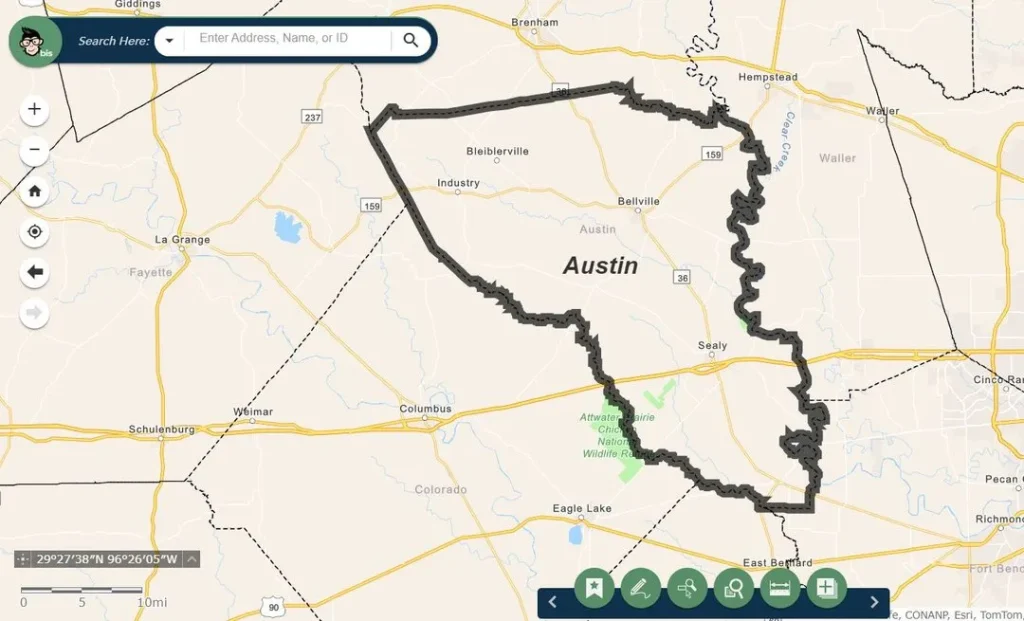
We work with government agencies to create interactive map solutions using GIS data that are perfect for appraisal districts, local governments, urban planning, public safety, and data management needs. Our maps also help governments save resources by empowering the public to find the information they need online, reducing the burden on staff.
An Interactive Map Developer for Modern Governments
Bringing your local government into the 21st century has never been simpler. At BIS, we work with your team to develop web maps that reflect your geographic information system data while remaining user-friendly and intuitive. Our custom maps take complex data and turn it into easy-to-use interactive maps.
Completely Customizable
We work closely with your team to tailor every map to your needs. Customize layers, visual styles, and functionality to suit your goals—whether you’re enhancing public engagement, supporting urban planning, or sharing vital data with community organizations.
Built to Engage
Make your website a powerful resource with maps designed to:
Real-Time Data Integration
With real-time data integration, your GIS maps always stay accurate. Whether syncing with ArcGIS Online or another platform, updates to your system automatically reflect on your public maps, ensuring reliability.
Seamless Integration with ArcGIS
We’ll seamlessly integrate the maps into your current GIS system. Keep your mapping unified across systems and take the administrative burden of adopting a new program off your team’s plate. We’re experts at creating interactive map solutions for governments and are familiar with the unique challenges and regulations required. We can work with any GIS system, but a few of the most common ones we integrate with are:
Interactive Map Partners
Check Out Our Maps In Action
See how our interactive maps bring data to life with real-time updates, seamless navigation, and powerful tools designed to simplify your workflow.
Some of the Challenges Faced By Llano County:
Working with their team to understand the pain points of their current system, we discovered the need for a few key features in a mobile appraisal app:
- Appraisers often visit remote zones without cell service and lose access to their workflow
- Inefficient routes to go in and out of service range cause them to lose valuable time and resources
- Multiple software programs to collect photos and data slow down workflow and harm accuracy
Some of the Solutions We Helped Llano County Achieve:
We created a Mobile app that was tested and approved by their field appraisers. They now have a custom program that is both easier to use and more efficient for their workflow.
Offline Usage and Features
We quickly realized the need for offline access to key parcel attributes. They also needed the ability to capture photos and other data easily, even while offline. By integrating with their current GIS systems, data automatically updates and content synchs when they return to online service.
Optimized Routes & Streamlined Workflow
Field appraisers can now optimize their routes without worrying about losing access to system data. Our solution demonstrates the potential to significantly enhance the CAD’s yearly appraisal operations with these efficiency upgrades.
Training and Ongoing Support for Staff
As with all of our GIS solutions, we provided training and offered ongoing support for the Llano County team. We ensured they understood the ins and outs of their new custom GIS map and how it works with their current GIS systems. For more on Llano County and other case studies, check out our Blog.
Who Do We Work With?
We work with government agencies throughout the United States and community organizations that utilize GIS data for their business. Whether you are a central appraisal district, urban planning department, customer service team, marketer, or more, we have a solution for you.
Maps Developed for Mobile and Desktop
Our custom interactive maps will work on whichever size device your constituents are using, making them more accessible. In an increasingly digital world, people access government websites and resources on mobile devices. It’s important to reach your constituents where they’re at with responsive apps that work smoothly.
Your Journey to Custom GIS Mapping
Working with us is simple. You’re just 5 steps away from beautiful, interactive maps!
We begin by understanding your goals and requirements for interactive mapping, including the data you want to visualize and the intended audience.
Our interactive map development team designs and develops custom interactive map examples that meet your specifications, incorporating the latest GIS technology and best practices.
A GIS interactive map developer will then integrate your geographic data into the maps, including any real-time data feeds or external datasets that need to be visualized.
Before launch, we thoroughly test the interactive maps to ensure they function smoothly across all devices and platforms. Once ready, we will deploy the maps on your website or internal systems.
We provide training for your staff on how to use and manage the interactive maps, as well as ongoing support to keep the maps up-to-date and operational.
Ready for Your Interactive Map Solution?
BIS Consultants are industry leaders in GIS Data, Government Web Design, and Co-Managed IT solutions. We’re experts in navigating the requirements local governments face and creating customized solutions that help you maximize your efficiency and seamlessly integrate the tools you need in one place. Ready to get started? Schedule a time to meet with us!
Our Clients Love Working With Us
"First-rate service. I also love how BIS is always educating clients on new and emerging trends. It's good to have a trusted partner."
Proud Partners