Case Study
GIS Solutions for Austin CAD
Our recent collaboration with the City of Austin empowered their city to unlock the full potential of data-driven planning. Austin, experiencing rapid growth, needed a robust and integrated CAD and GIS system to manage infrastructure development, public services, and future planning initiatives. We provided a comprehensive solution that streamlined workflows, enhanced data analysis, and fostered collaborative decision-making. We worked closely with Austin’s planning department to identify their needs and challenges. Key areas included infrastructure planning, zoning regulations, and public park development.
Breakdown of Services Provided:
- Data Integration and Migration: We facilitated the migration of existing CAD data (building plans, utility maps) into a centralized GIS platform, creating a single source of truth for city planning data.
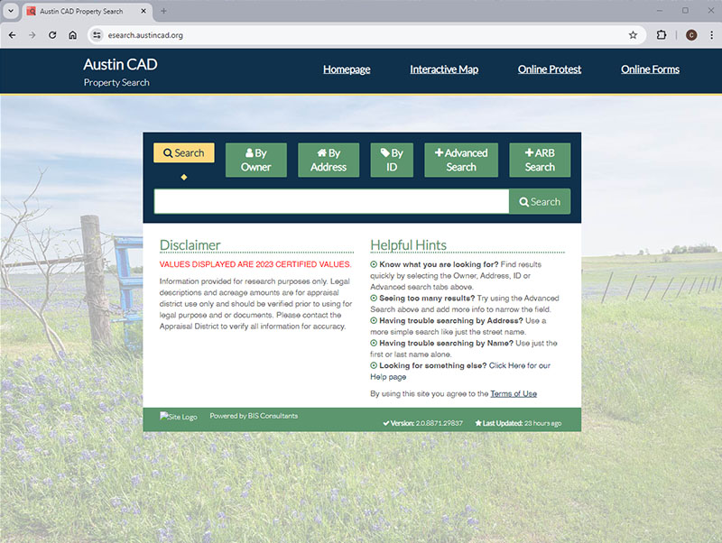
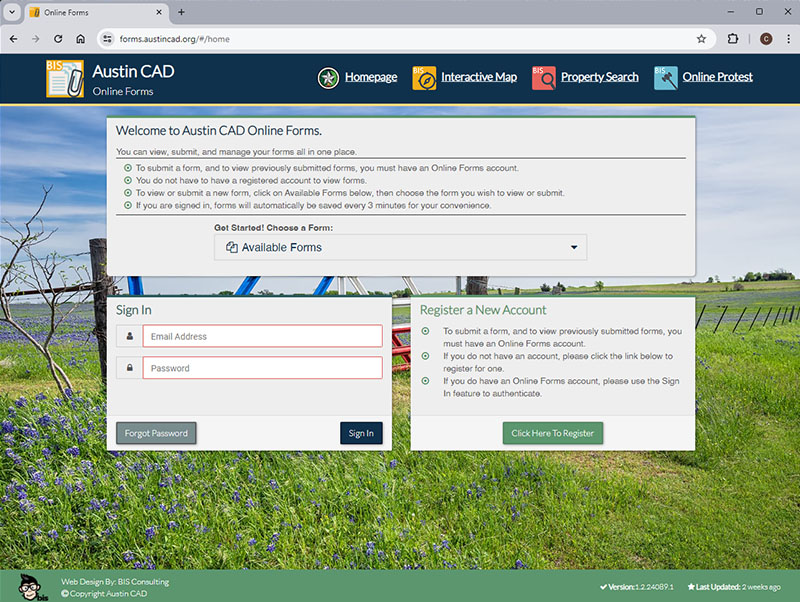
- Software Implementation: We implemented a cloud-based CAD and GIS platform with user-friendly interfaces and advanced data visualization tools. This allowed for seamless design and geographic data integration, enabling real-time project visualization.
- Workflow Development: We customized workflows for various city departments, enabling efficient data sharing and collaboration. For example, zoning officials can now access real-time infrastructure data when reviewing development proposals.
- Training and Support: We provided comprehensive training programs for city staff on utilizing the new CAD and GIS system. This ensured staff could leverage the platform’s full capabilities.
- Data Analytics Integration: We integrated advanced data analytics tools with the GIS platform. This empowered city planners to gain deeper insights from spatial data, allowing for informed decision-making on future development projects.
Results and Ongoing Partnership:
The City of Austin now has an integrated CAD and GIS ecosystem. This has resulted in:
- Increased Efficiency: Streamlined workflows have reduced project planning time and improved overall operational efficiency across city departments.
- Enhanced Decision-Making: Data-driven insights enable informed planning decisions, leading to sustainable development and improved public services.
- Improved Citizen Engagement: The platform facilitates transparent communication with citizens, allowing public input on development projects through interactive maps and data visualization tools.
Our collaboration with Austin is ongoing as we provide ongoing support and work with the city to develop new applications for the CAD and GIS platform to meet their evolving needs. With this robust system, Austin can navigate its growth trajectory with efficiency and foresight.